GPS-Guided Grading
Maintain reference to the intended surface across larger areas.
Explore →
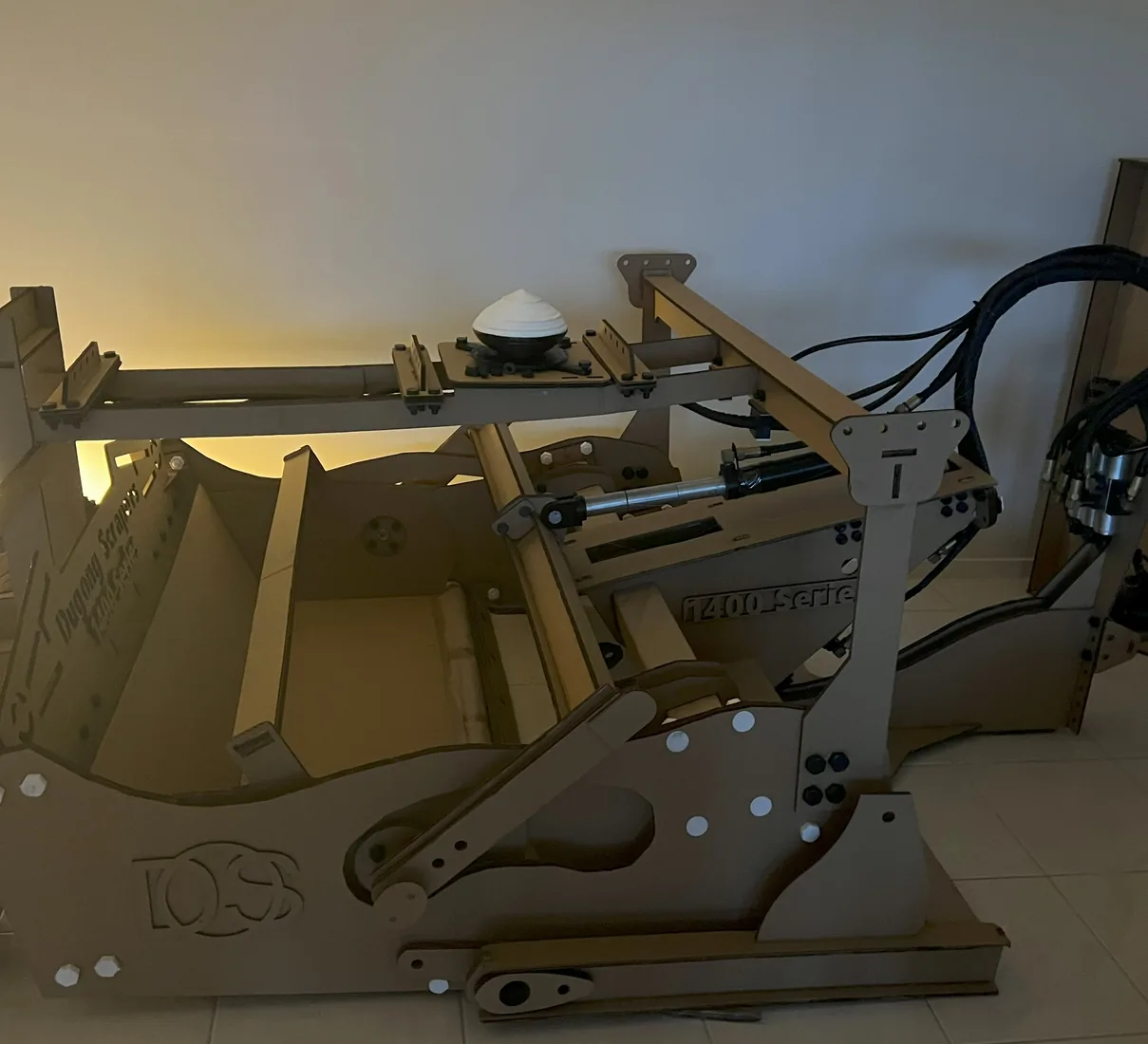
GPS/GNSS and laser are references used to execute a plan; they do not decide what the land should become.
Each guide starts with the required outcome and considers whether controlled grading is appropriate within the wider land-management or construction plan.
Maintain reference to the intended surface across larger areas.
Explore →Record, revisit and execute defined level objectives.
Explore →Work to a defined plane or slope where laser is appropriate.
Explore →Translate a defined land plan into controlled machine work.
Explore →Record local issues without confusing mapping with the management decision.
Explore →Return to known levels or problem areas over time.
Explore →Combine local knowledge with measured guidance.
Explore →Manage level, slope, crown or crossfall according to purpose.
Explore →Protect areas already performing correctly.
Explore →Understand the dedicated platform and its role in guidance.
Explore →Consider local dust controls and operating conditions.
Explore →Reference potential platform-supported dust-management equipment.
Explore →